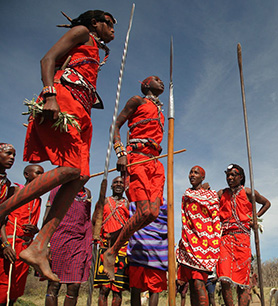
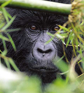
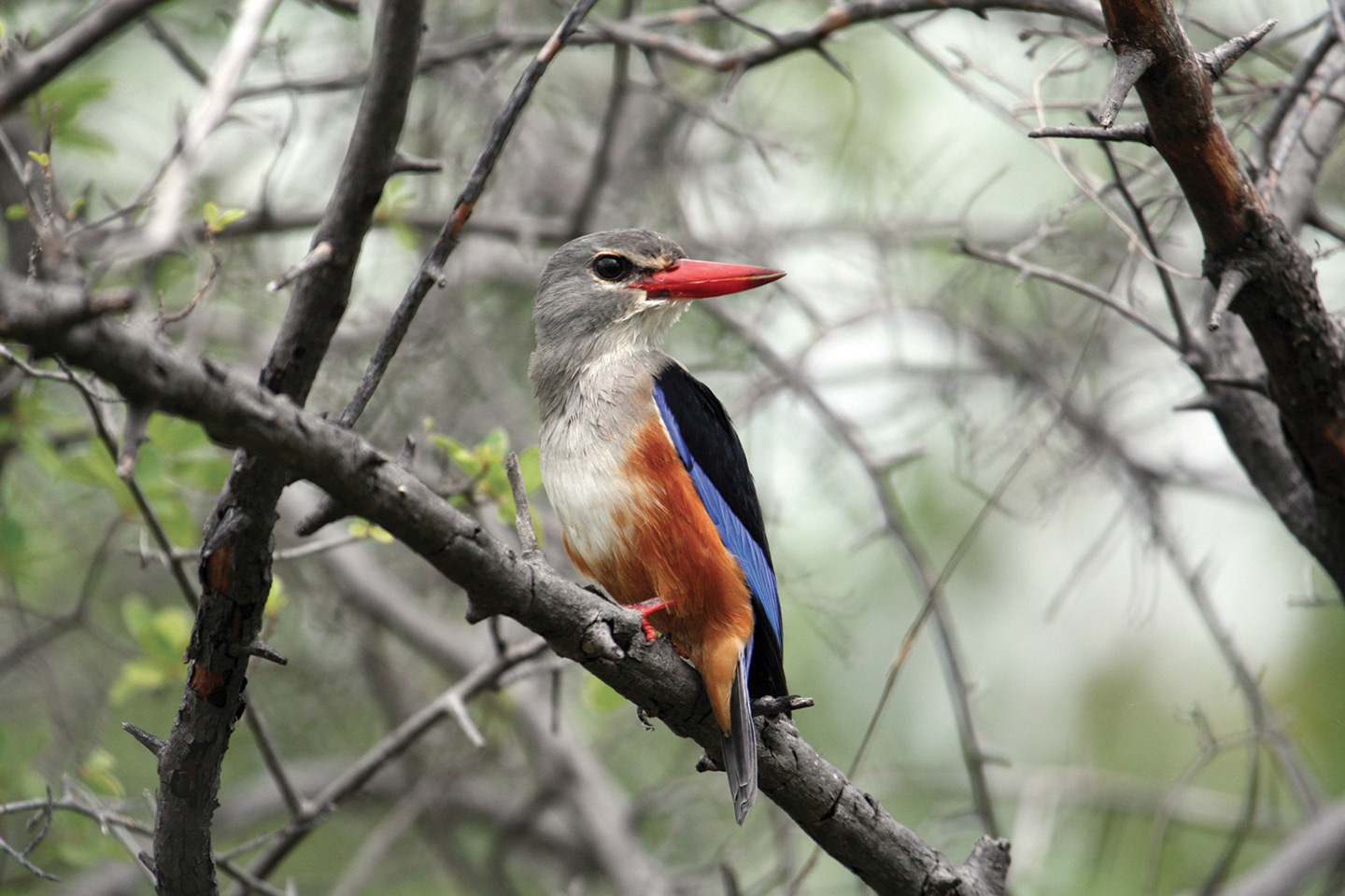
Namibia is a boundless country, sparsely populated and mostly untouched. Slightly more than two millions people inhabit an extension of 800,000 km². The backbone of the country is a long plateau more than 1,600 m high that declines towards the Kalahari Desert to the East and towards the Namib Desert to the West. Four national parks protect the fragile ecosystem of the Namib Desert, that runs for 1,600 km along the coast, where it meets the chilly waters of the Atlantic Ocean.
Among these the Namib-Naukluft National Park, setting of the majestic red dunes of Sossusvlei, and the Skeleton Coast National Park with its solitary shores dotted with mysterious shipwrecks. To the South the earth cracks, forming the spectacular Fish River Canyon, while to the North the salt plains of the Etosha Pan, the throbbing heart of the Etosha National Park, glitter in the sun and desert elephants roam in the ancient valleys of Damaraland. The Caprivi Strip breaks the regular borders of the country and stretches into Angola, Zambia and Botswana, forming an oasis of lagoons and floodplains. Namibia is in fact teeming with wildlife: 4,000 species of plant, 650 species of bird and 80 species of mammal survive in often inhospitable environments, protected inside 11 national parks plus more than 70 conservancies and reserves. The desert fauna, the cultures of the Himba and the Bushmen, the rock paintings and geological formations of Damaraland, and the colonial architectures of Windhoek, Luderitz and Swakopmund complete the picture of an ancient land where opposites attract and coexist in a delicate, though perfect balance.
Caprivi
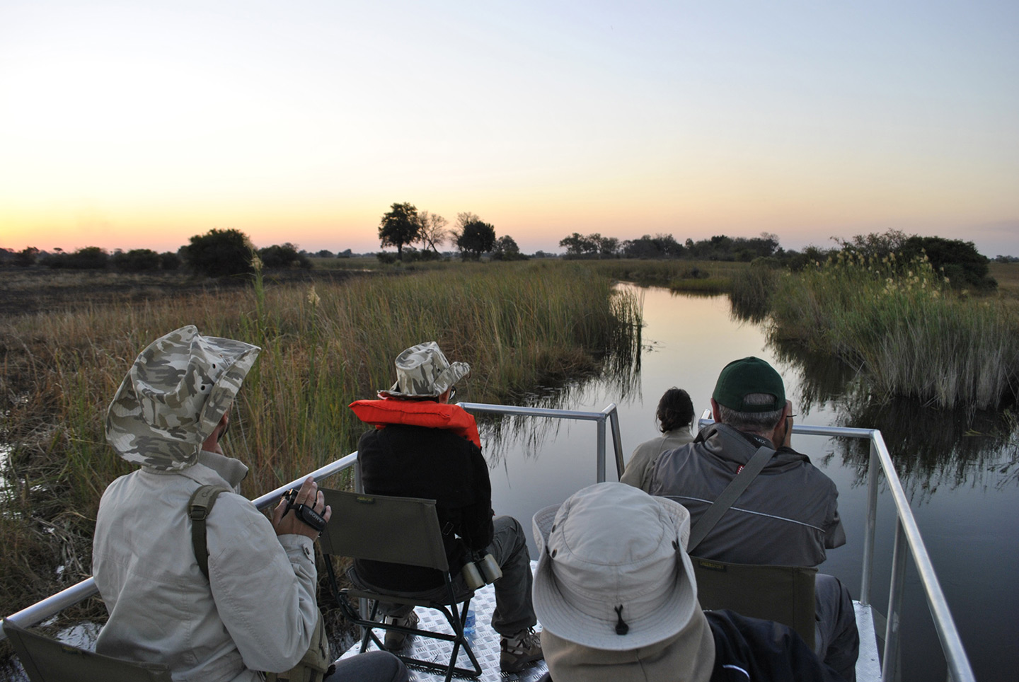
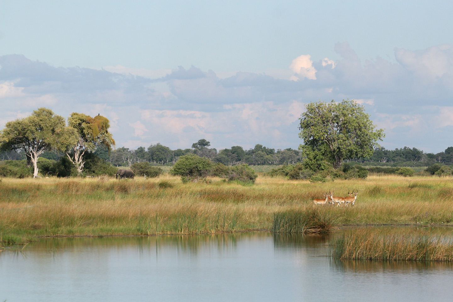
At the north-eastern end of Namibia is the Caprivi Strip, a thin tongue of land bordering Angola, Zambia and Botswana. Annexed to Namibia in 1890, it had been for years a place of disputes and conflicts. Nowadays it is at peace and it is also an important wildlife corridor between Angola and Botswana. Caprivi is surprisingly green and washed by 4 rivers: Okavango, Kwando, Chobe and Zambezi. Here the vegetation includes palms and papyrus, while the wildlife typical of humid habitats is protected inside 5 national parks.
Damaraland
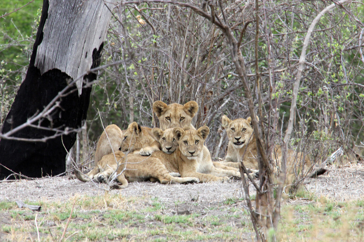
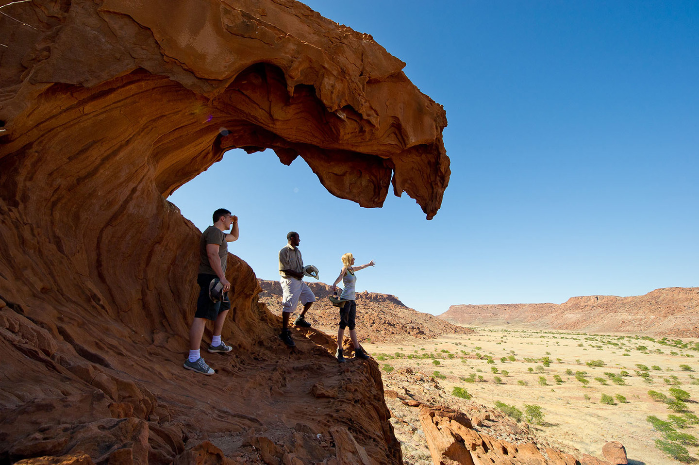
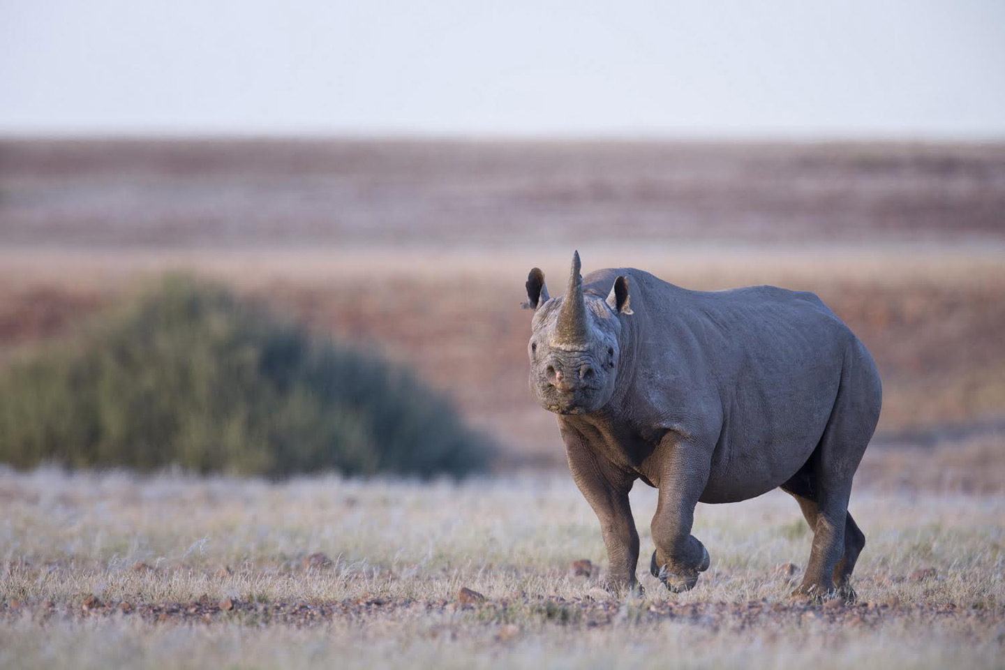
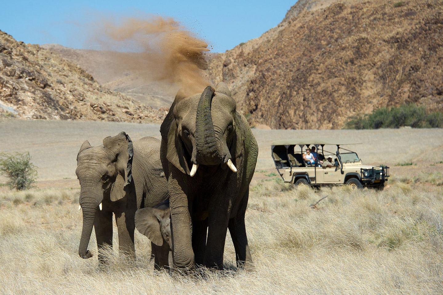
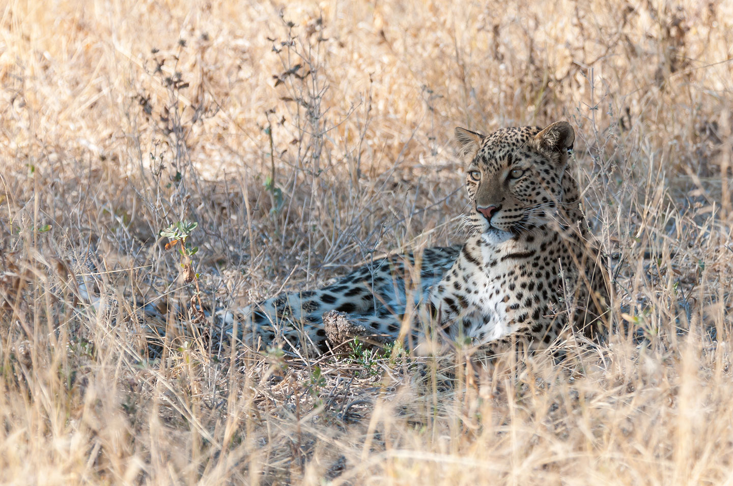
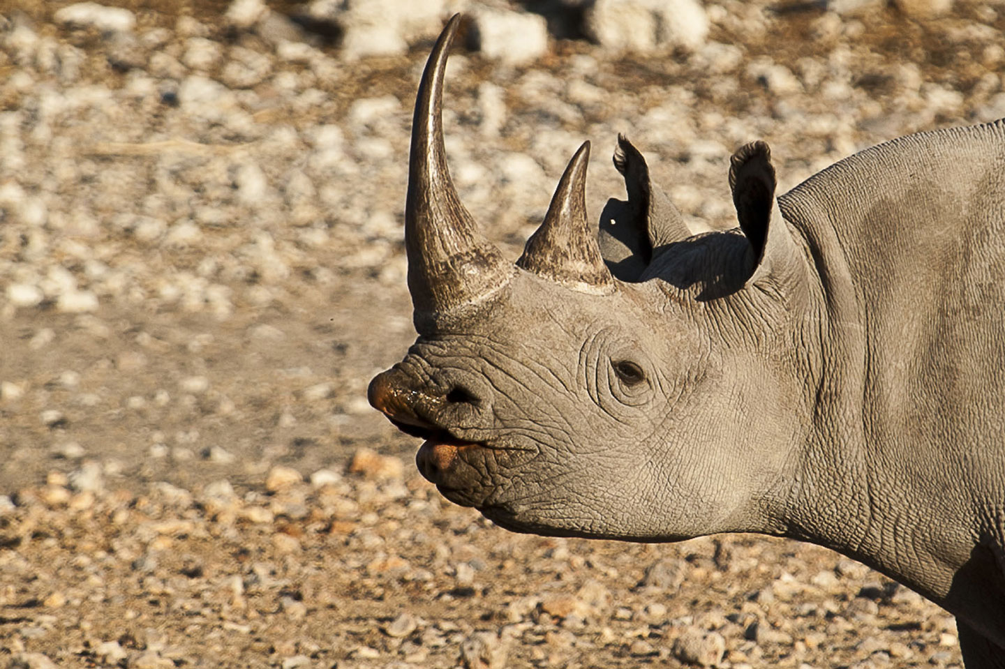
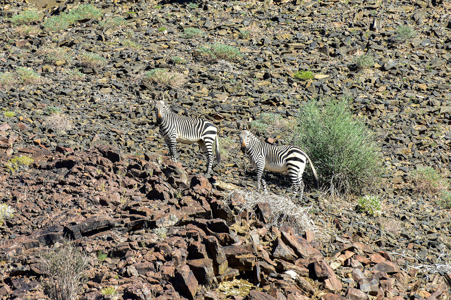
In the north-west part of Namibia, Damaraland is renowned for the beautiful landscapes and the desert-adapted wildlife that inhabits its deep valleys, ochre mountains and dry riverbeds. Here lion, elephant and black rhino survive inside conservancies where local communities are directly involved in conservation and benefit from it. Damaraland also features spectacular geological formations and rock art sites such as Twyfelfontein: a collection of about 2,000 Bushmen’s engravings and paintings dated up to 20,000 years ago.
Etosha National Park
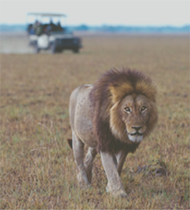
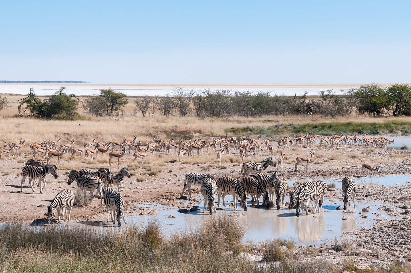
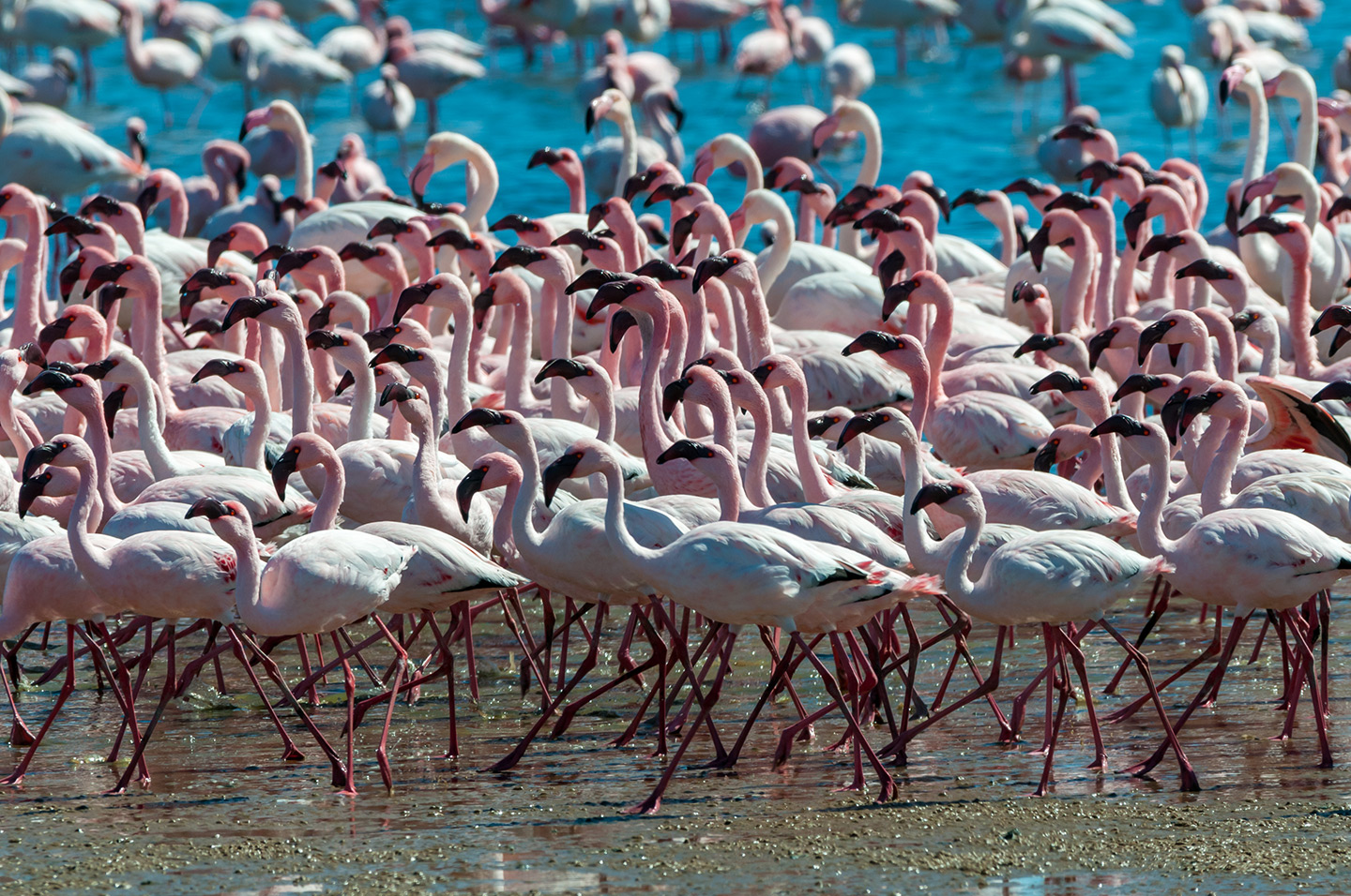
Declared national park in 1967, Etosha covers more than 22,000 km² and is home to 114 mammal species, 340 bird species and 110 reptile species. The park is dominated by the Etosha Pan, a salt pan of 5,000 km² fed by perennial springs and seasonal rivers. For most of the year the Pan is an arid white expanse, but after the rains it turns into a lagoon inhabited by flamingos, pelicans and other water birds. During the dry season the waterholes South of the Etosha Pan attract the abundant wildlife of the park.
Kunene
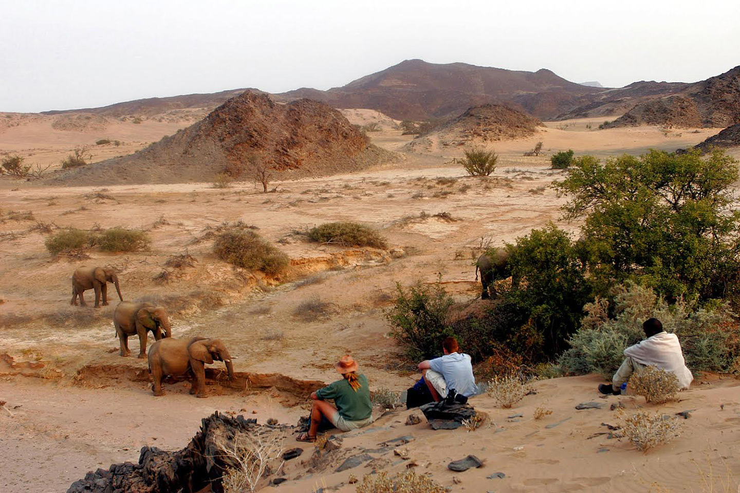
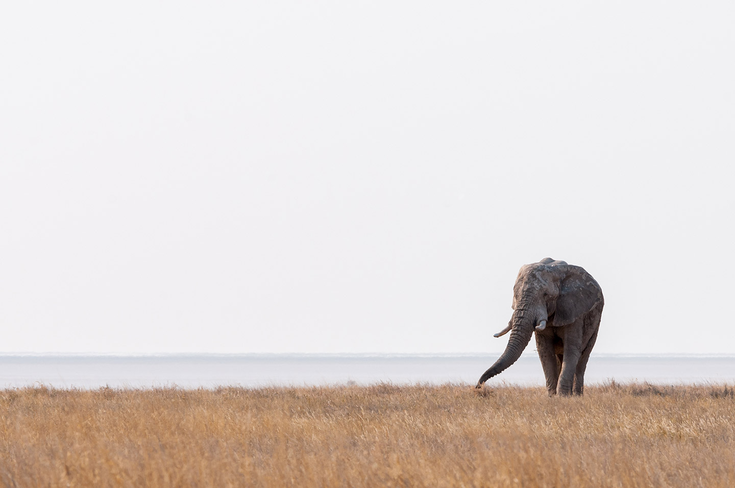
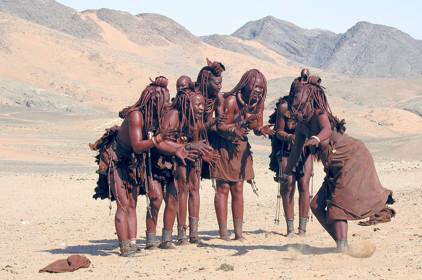
In the north-eastern corner of Namibia, bordering Angola, Kunene, also known as Kaokoland, is one of the most remote and wildest regions of the country. It is nestled between the Hoanib River and the Kunene River which forms the Epupa and the Ruacana falls. The region, mostly arid and deserted, is crossed by ancient riverbeds and scenic mountains, where desert elephants roam in search of food. This is the land of the Himba, semi-nomadic herdsmen who have lived for generations in this harsh environment.
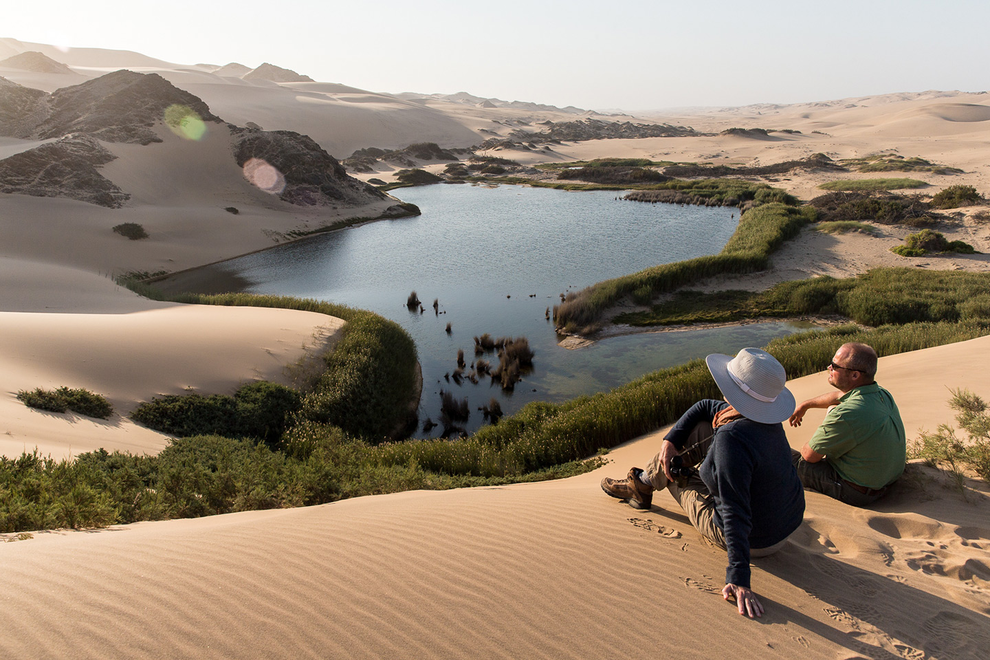
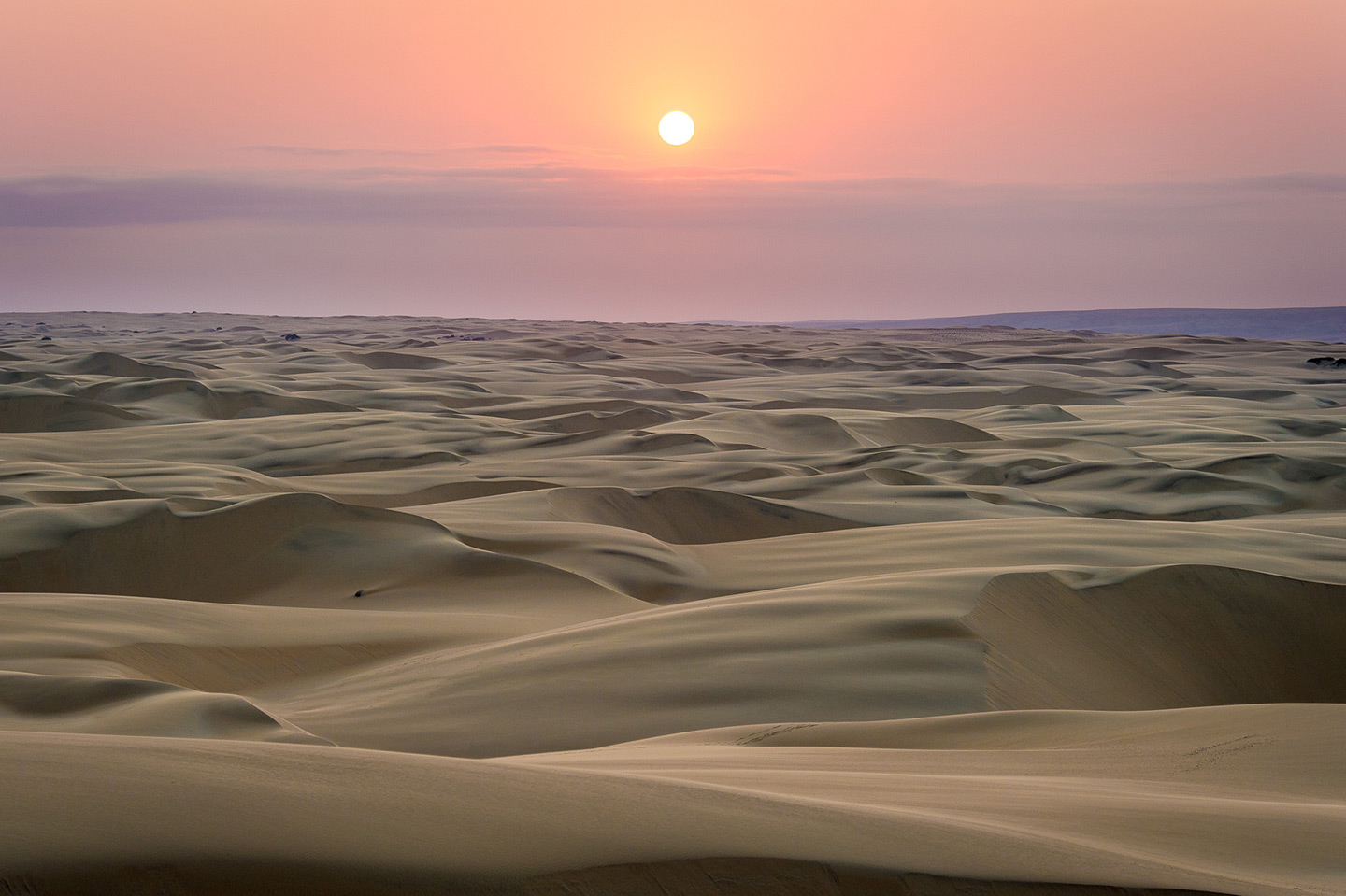
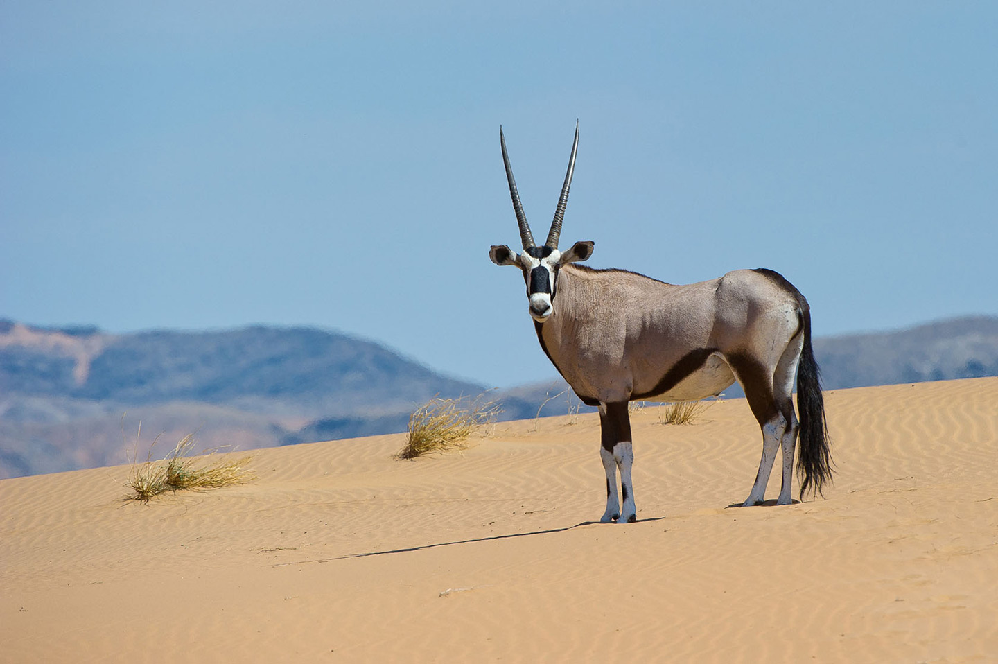
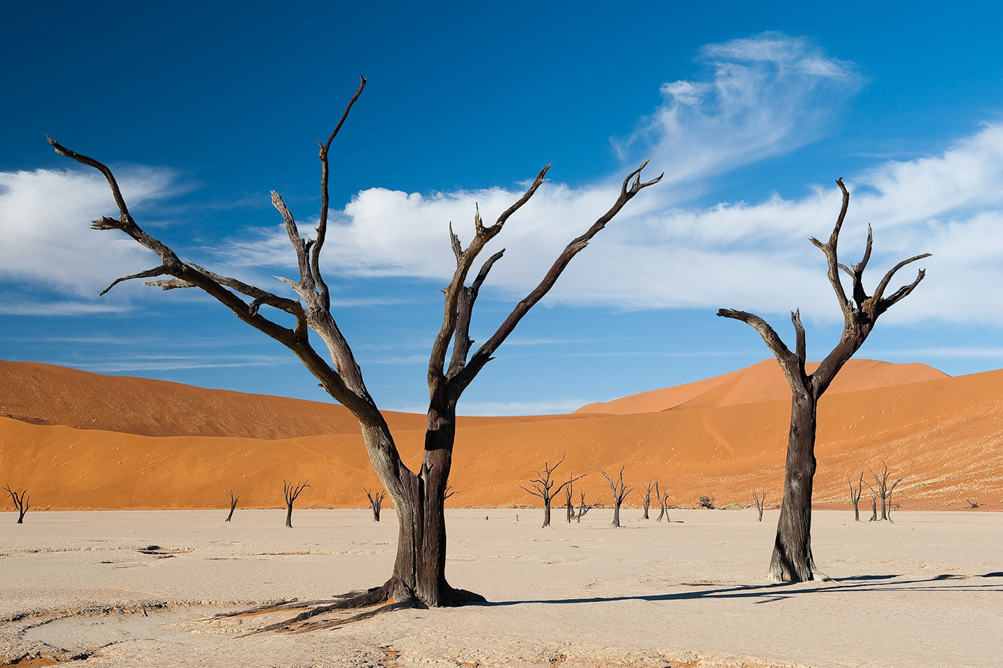
Namib Desert
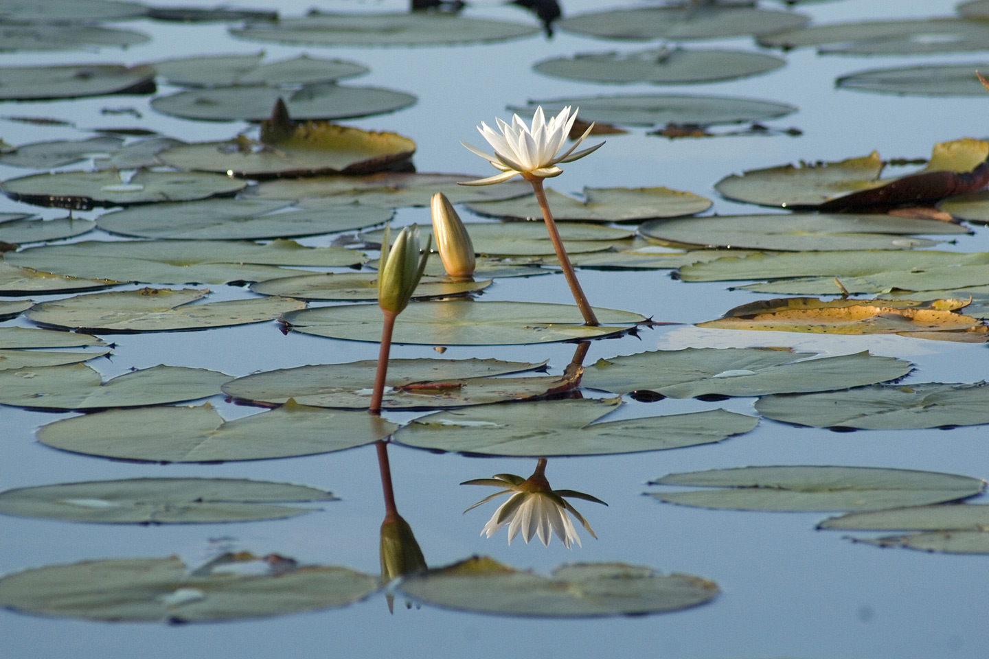
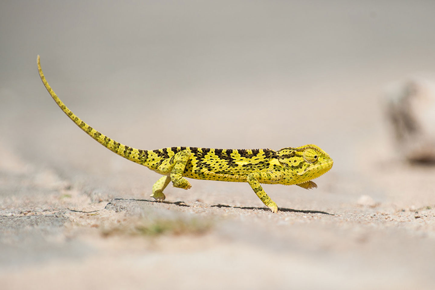
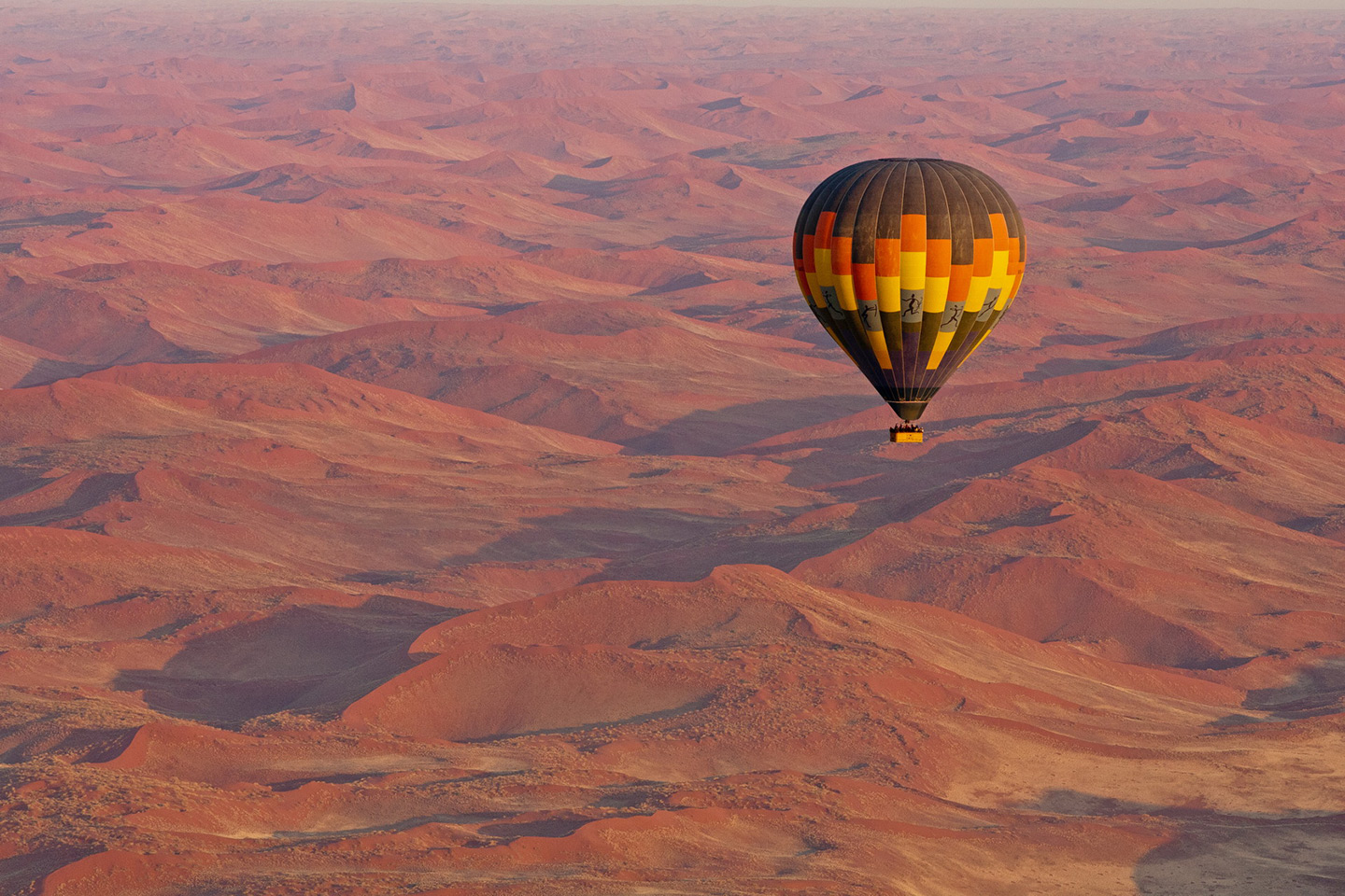
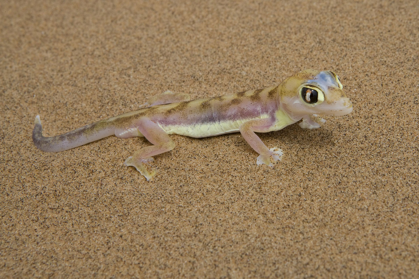
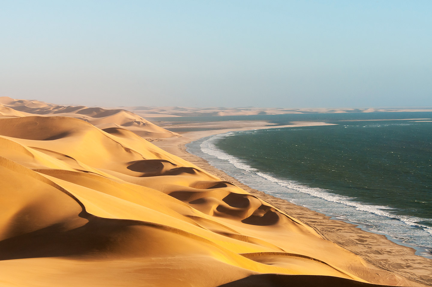
1,600 km long and between 50 and 200 km wide, the Namib Desert stretches along the whole coast of Namibia. The permanence of arid conditions for 55 million years makes it the most ancient desert in the world. Known as “the living desert”, the Namib supports a fragile ecosystem, home to plants, insects, reptiles and mammals that have adapted to extreme conditions. The desert is protected by 4 national parks, the most renowned of which is the Namib-Naukluft, featuring the world-famous red dunes of Sossusvlei and the Dead Vlei.
The coast
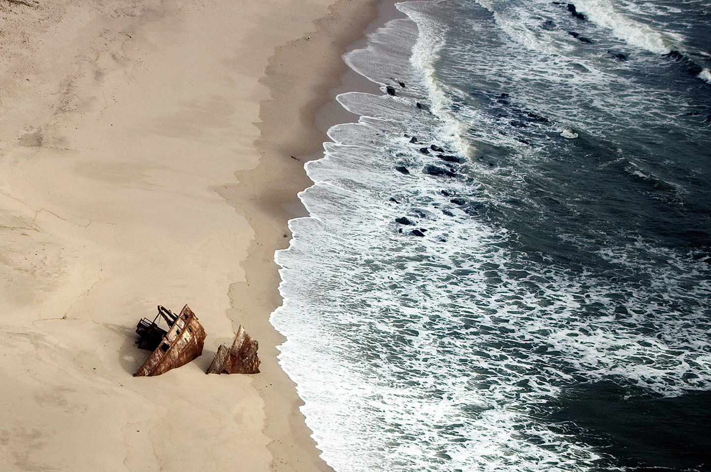
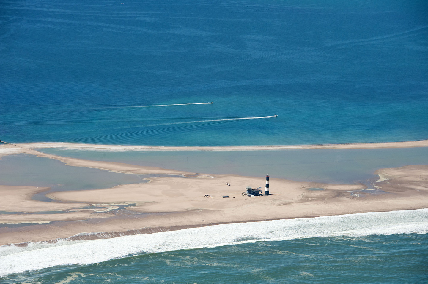
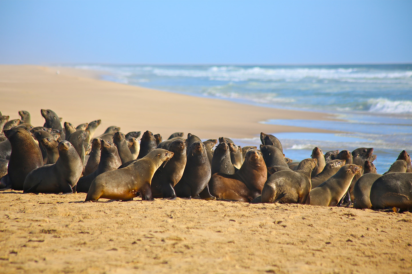
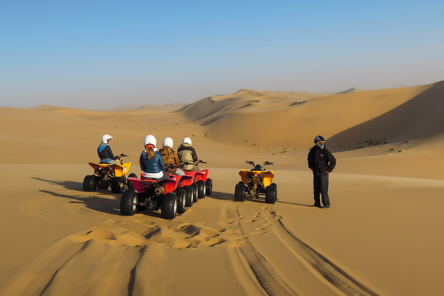
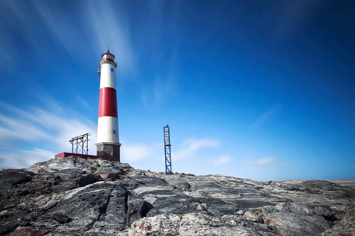
Founded by Germans in 1882, Swakopmund is a bizarre coastal town with a German flavour and offers a wide range of outdoor activities. Inland lunar landscapes are dotted with Welwitschia Mirabilis and further North the Skeleton Coast National Park stretches up to the border with Angola, owing its name to whale skeletons and shipwrecks that emerge along the coast. South of Swakopmund, Walvis Bay hosts dolphins, whales, cape fur seals and pelicans, while the lagoon teems with flamingos and other water birds.
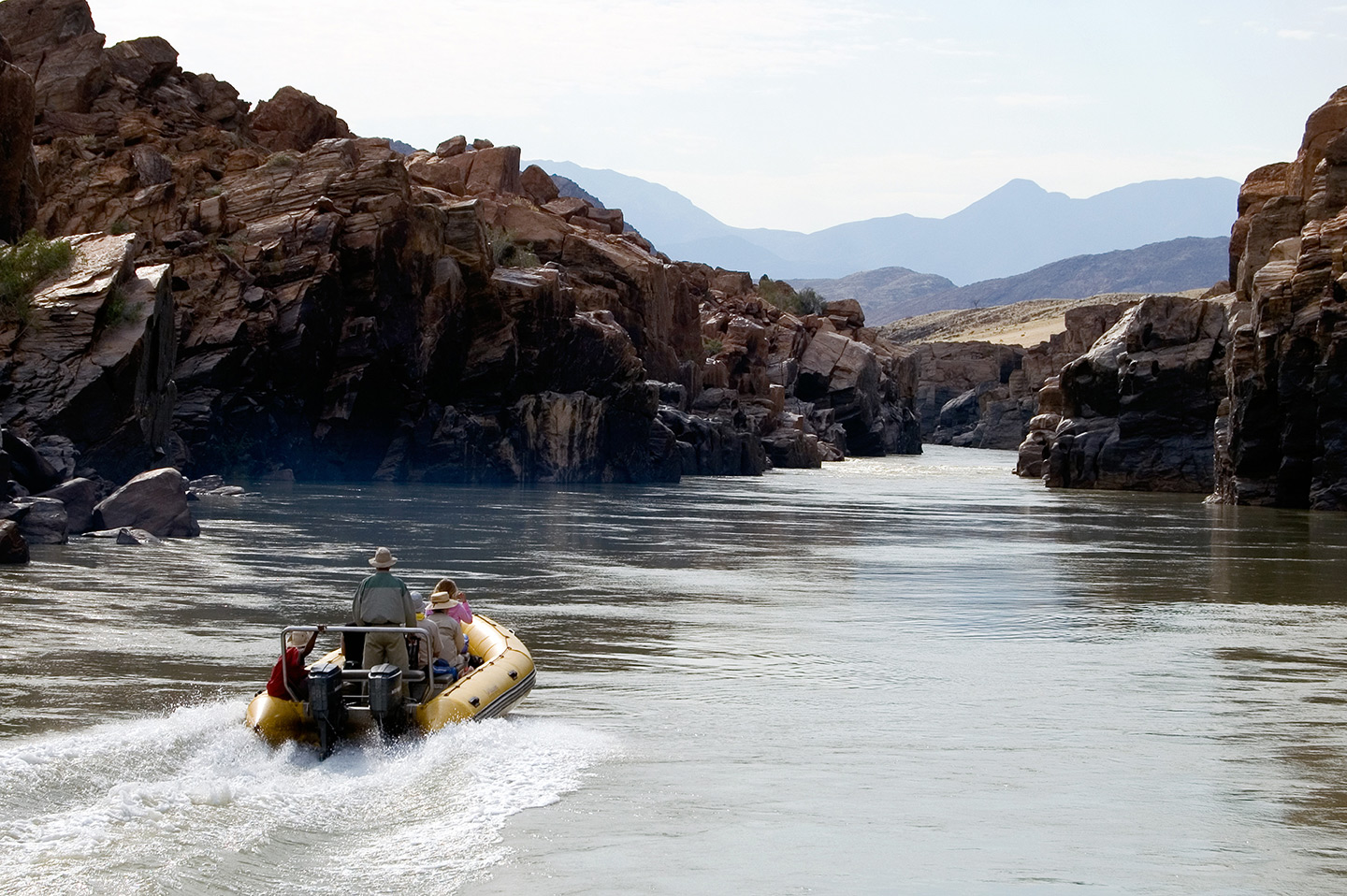
The South
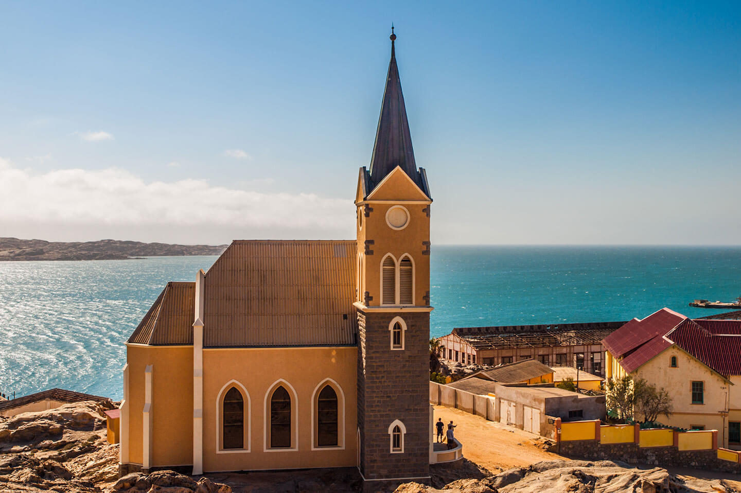
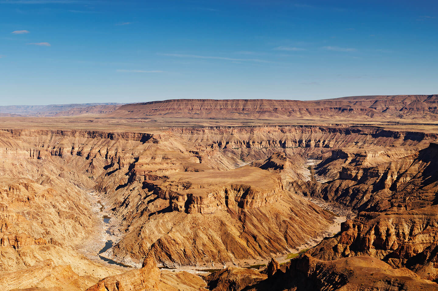
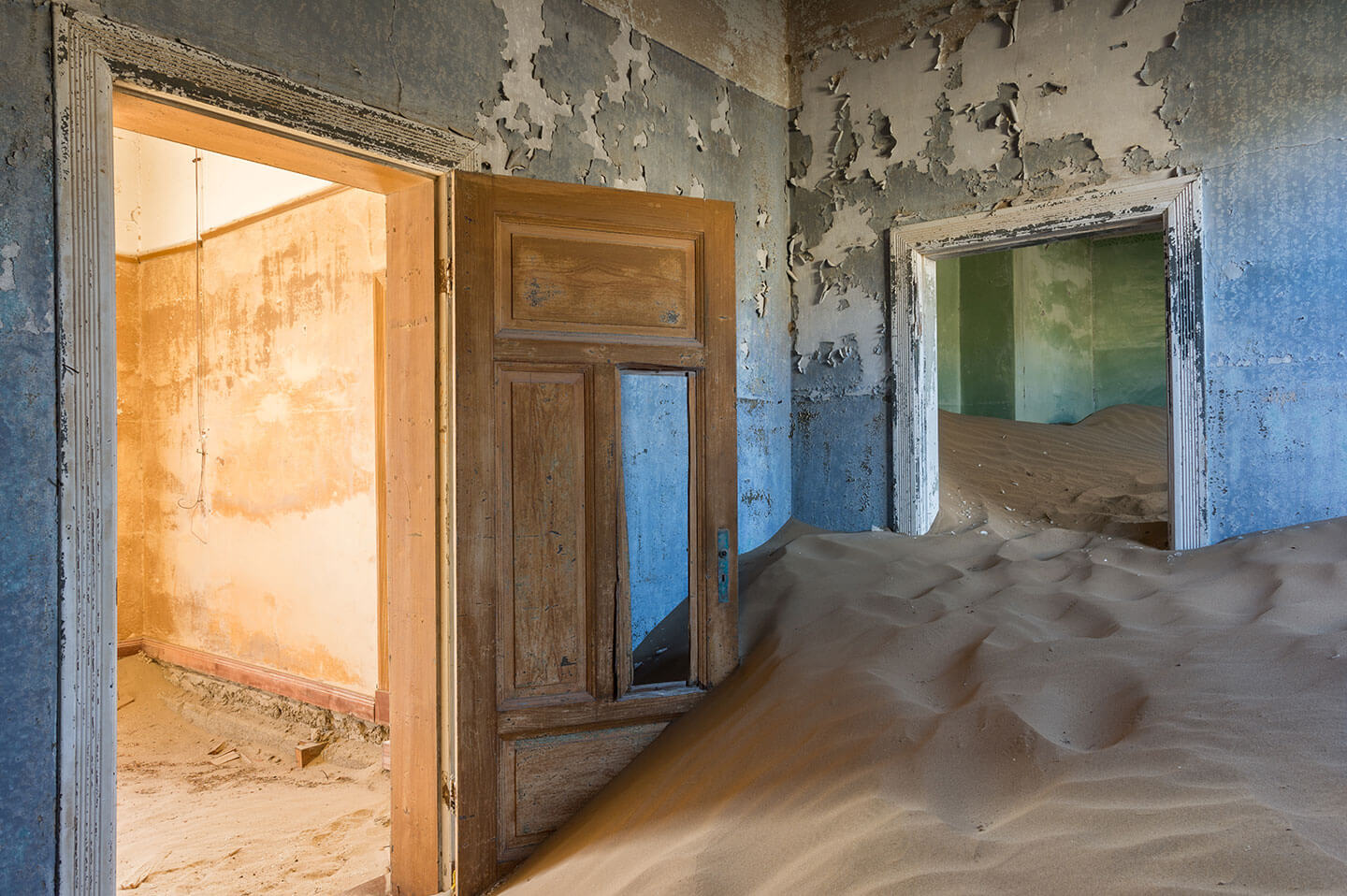
On the southern coast of Namibia, Luderitz was founded by Germans in 1883 and at the beginning of 20th century grew into a prosperous harbour town thanks to the discovery of gold in the near Kolmanskop. When gold mines were exhausted, Kolmanskop was abandoned and turned into a deserted ghost city, while Luderitz started to decline. Further south, the Fish River Canyon is the second largest in the world and meanders for 160 km towards the border with South Africa. In places it is up to 27 km wide and almost 550 m deep.